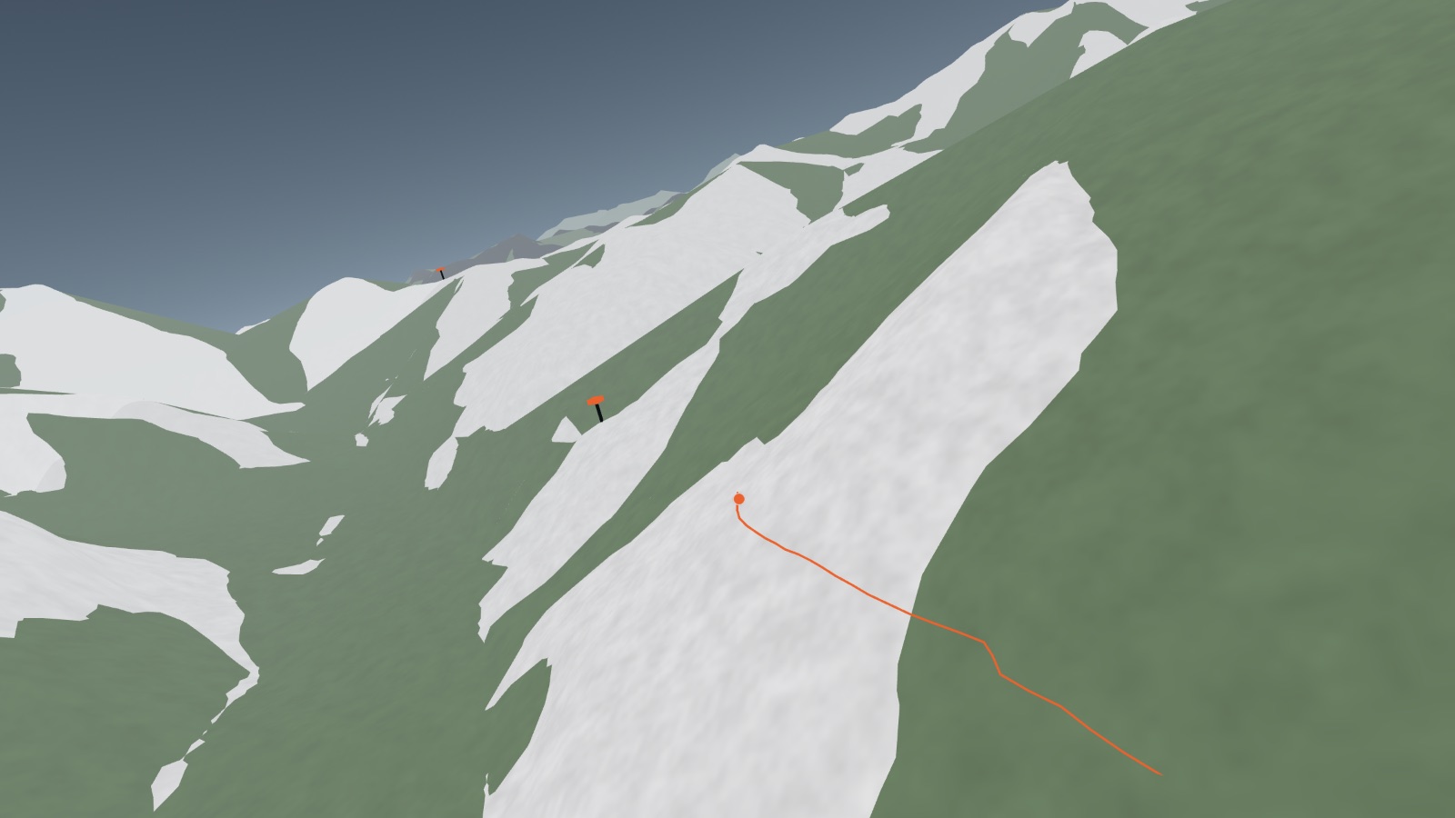
Course · France · Italy · Switzerland
Ultra-Trail du Mont-Blanc
A loop right around the massif, traced from the official race GPX. The camera follows the course on a wide, level line and lets the switchbacks pass underneath, and the HUD counts down to the next aid station and its cut-off.
- Distance
- 177 KM
- Ascent
- 10,038 M
- Time limit
- 46:45
- Checkpoints
- 31
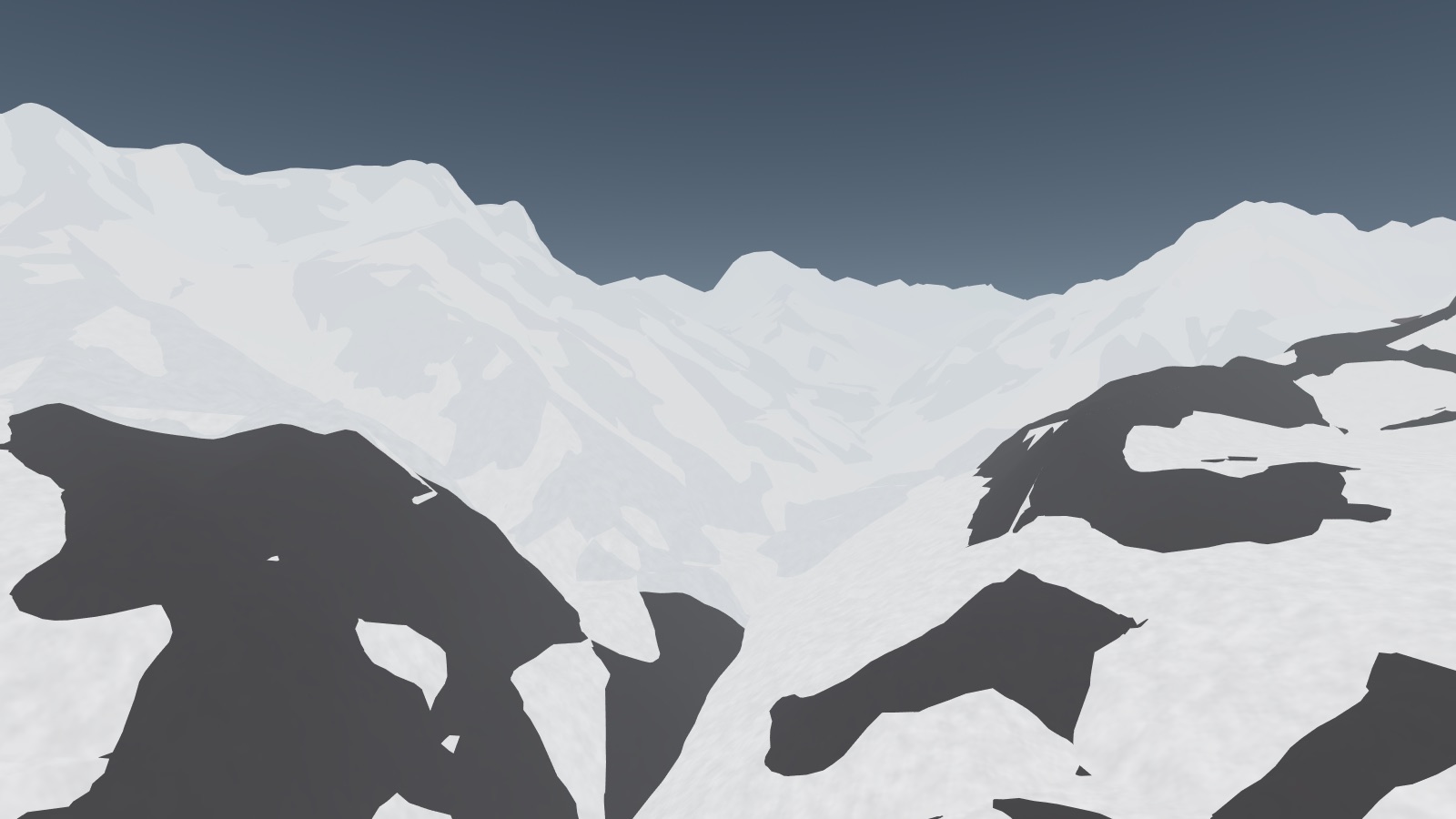
Trek · Nepal
Everest Base Camp
Lukla to Base Camp through the Khumbu, told in twelve hand-authored camera shots with the story set against the climb. Where the course camera follows, this one narrates.
- Distance
- 62 KM
- Ascent
- 3,720 M
- Days
- 8
- Max altitude
- 5,364 M
Next
A city
The same pipeline pointed at built ground rather than open ground — buildings instead of contours, streets instead of a trail.